Live Earth Map Satellite View
Overview
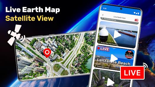
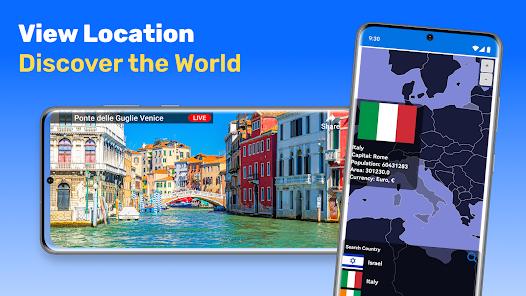
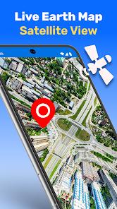
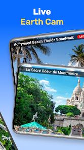
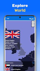
Armchair travel and virtual tourism have reached a technological pinnacle with applications like Live Earth Map Satellite View. Developed by Galaxy Studio Apps, this utility integrates global satellite imagery with 360-degree street-level panoramas to provide a comprehensive window into the world. The application is designed for both practical travelers who need to scout a location before arrival and for enthusiasts who wish to explore world landmarks, from the Great Wall of China to the Eiffel Tower, in a high-definition 3D format.
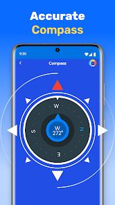
Technically, the app distinguishes itself through a "multi-layered" viewing system. Users can toggle between traditional road maps, hybrid satellite views, and immersive 3D street views. It offers voice-guided directions and real-time traffic updates. A standout feature is the "GPS Camera," which allows users to take photos that are automatically watermarked with the exact address, coordinates, and timestamp, making it an ideal tool for surveyors, real estate agents, or travel bloggers. Furthermore, the app includes several utility modules, such as a speedometer for tracking travel velocity and a digital compass for orientation during outdoor exploration. By combining mapping with these measurement tools, Galaxy Studio has created a "Swiss Army Knife" for geography.
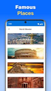
However, the application operates in a market where visual data is incredibly expensive to maintain. To sustain its high-resolution imagery, the app utilizes an ad-supported model that has been a point of debate in user circles. Critics often point to the frequency of pop-ups, while proponents argue that it is a fair trade for access to premium satellite data. Moving into 2026, the app has enhanced its "Famous Places" module, offering curated 3D tours that provide historical context alongside visual data, effectively serving as an educational resource.
Pros & Cons
The primary pro is the exceptional visual detail of the satellite and street-view imagery. For users who cannot travel physically, the app provides a highly immersive way to see the world’s most iconic sites with stunning clarity.
Secondly, the "GPS Camera" is a unique professional utility. For field workers or enthusiasts, being able to automatically document the "where" and "when" of a photo directly on the image itself is a major productivity booster.
Thirdly, the "Famous Places" module is a fantastic educational tool. It provides a curated list of aesthetic and cultural sites, making it easy for students or travelers to learn about global landmarks.
Fourthly, the all-in-one nature of the app—combining a compass, speedometer, and map—reduces the need to install multiple separate utilities, saving storage space on the user's device.
Fifthly, the app’s "Nearby Places" search is highly efficient. Whether you need a hospital, a bank, or a police station, the app can identify your location and provide directions to the nearest facility in seconds.
Sixthly, the voice-guided navigation is surprisingly robust for an exploration-focused app, making it a viable secondary GPS for driving or walking in unfamiliar areas.
Finally, the "Parking Locator" helps users manage urban logistics by remembering exactly where they left their vehicle, even in a crowded city or large event lot.
- ✕
The most significant disadvantage is the "intrusive" nature of the advertising. Users often report that pop-up ads appear when they are trying to zoom in or search, which can be frustrating and break the immersion of the virtual tour.
- ✕
Additionally, the map data is not always uniform in quality. While major cities have high-resolution 3D views, rural or developing areas may have significantly lower detail or outdated imagery.
- ✕
The app also requires a persistent, high-speed internet connection to load the 3D textures and panoramic images, making it less useful in areas with poor cellular reception unless maps are pre-cached.
Download
 Get it on Google Play
  Get it on App Store
 FAQs
Can I see a live video of my house?
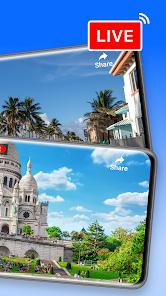
While the app is called "Live Earth Map," it typically provides the most recent satellite and street imagery available, not a real-time video feed. Some landmarks may have links to live webcams.
How do I use the GPS Camera?
Open the camera module within the app. When you take a picture, the footer containing the coordinates and address will be added automatically. You can then save or share the image.
Is there an offline mode?
While some basic mapping can be cached, the high-resolution 3D and Street View features generally require an active 4G/5G or Wi-Fi connection to stream the data.
Does the app show current traffic?
Yes, the app includes a traffic layer that provides real-time updates on congestion and road obstructions to help with route planning.
How do I find famous landmarks?
Use the "Famous Places" tab to browse curated lists or search for specific sites like "The Great Wall" or "Eiffel Tower" to jump directly to a 3D panorama.
Is the speedometer accurate?
The speedometer uses GPS data to calculate velocity. It is generally accurate for cars and bikes but may have a slight lag compared to a vehicle's mechanical speedometer.
Hot Reviews
Armchair travelers love the ability to "walk" through cities they've never visited. The 360-degree panoramas are frequently described as "magnificent" and "breathtaking."
Feedback from surveyors and real estate agents often highlights the GPS Camera as an "essential" tool. They appreciate the accuracy of the address watermarking for documenting property visits.
A common complaint in the user community centers on the "never-ending" ads. Reviewers mention that they would be willing to pay a small one-time fee to remove the pop-ups and have a cleaner experience.